

The Estrada Romana do Alqueidão da Serra is a surviving stretch of Roman road in Alqueidão da Serra, in the municipality of Porto de Mós. Its stone paving and mountain setting make it a historic stop near Batalha, though you should confirm the access point and current conditions before setting out.
- Location: Alqueidão da Serra parish, Porto de Mós municipality, Leiria district.
- From the hotel: about 7.4 km from a two-star hotel in Batalha.
- What remains: surviving lengths are described as ranging from 100 to 370 metres, with the first 150 metres best preserved.
- Longer walk: the PR7 PMS circular hike is 13.8 km and difficult, with an estimated duration of 3 hours 55 minutes.
What is the Estrada Romana do Alqueidão da Serra?
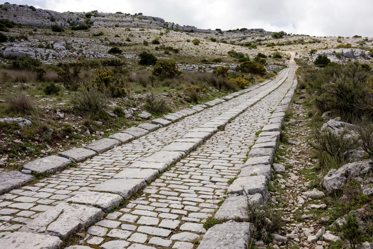
The Estrada Romana do Alqueidão da Serra is a surviving section of a secondary Roman route across the Serra de Aire e Candeeiros. Porto de Mós municipality dates it to the Roman period, possibly the 1st century AD or as early as the 1st century BC.
The road connected the Middle Tagus with the Estremenho coast. Isolated remains are found between Alqueidão da Serra and Vales, toward Porto de Mós. The road section is classified as an Imóvel de Interesse Público under a decree published in 1990.
Descriptions put the surviving length at 100 to 370 metres; the first 150 metres are best preserved, and the average width is 4 metres. The classified section is described as no more than 100 metres long, while nearby paths include short remnants of the original route.
The surviving surface is made from carefully fitted paving stones on a layered stone foundation. Larger slabs mark the edges, and the road has a central ridge.
The parish also records a local historical association: Nuno Álvares Pereira is said to have used the road on his way to the military camp at São Jorge before the Battle of Aljubarrota in 1385.
How do you find the route and its access point?
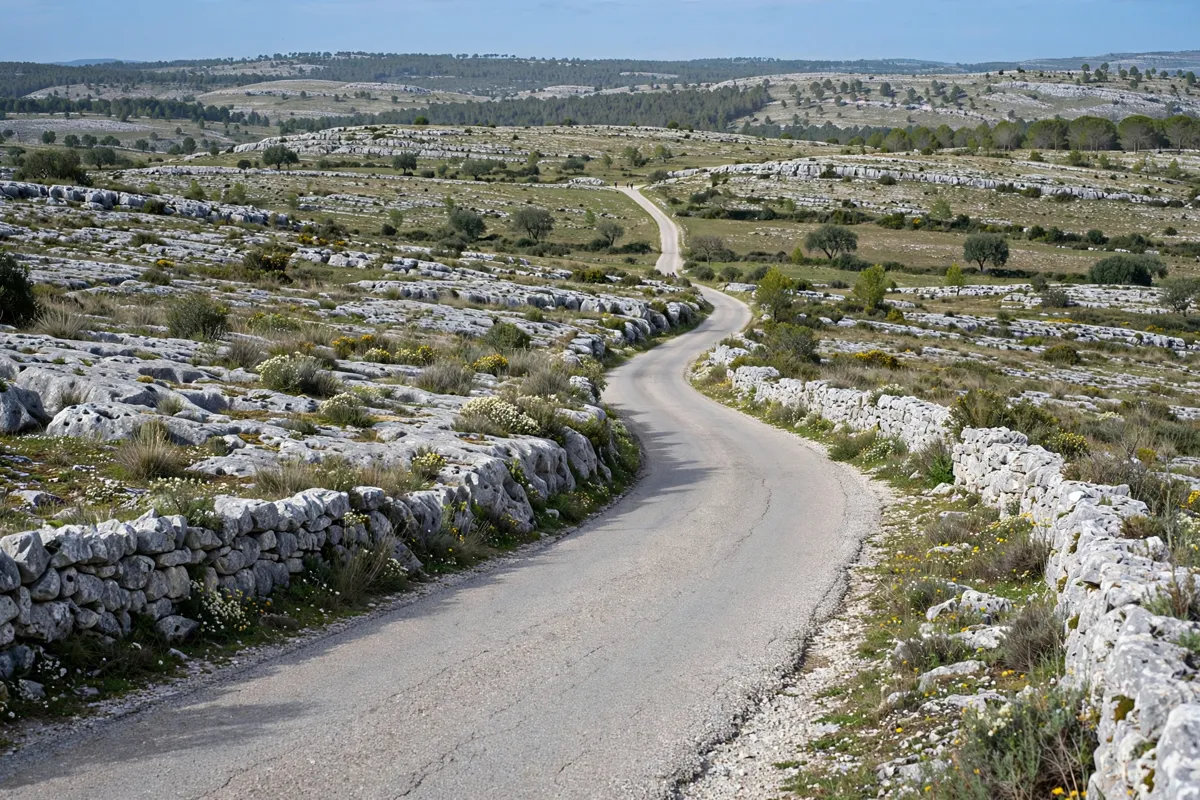
The road is located at Estrada Romana - Alqueidão da Serra, in the area of Carreirancha. Its published coordinates are 39.610556, -8.769444; the parish places the road a little less than 1 kilometre from the settlement.
On the mountain side, the municipal road E.M. Alqueidão/Carreirancha/Bouceiros serves the road. An unpaved road crosses a section in the Vales area. Confirm your intended access point before travelling, as these descriptions refer to different parts of the remains.
The monument is about 7.4 km from a two-star hotel in Batalha, making it a regional outing from town. Check the Porto de Mós municipality’s official site before you go for current access information.
What are the walking conditions like?
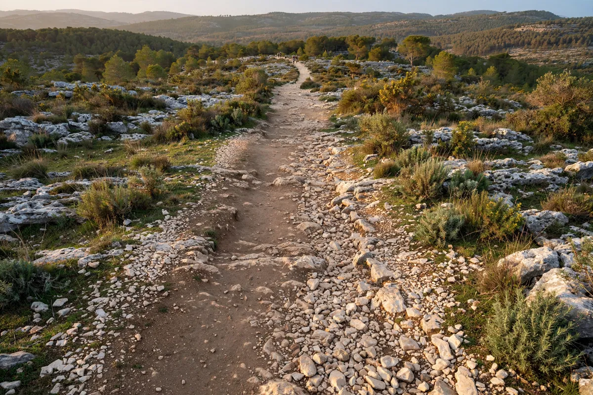
The historic surface is stone paving, but the longer walk associated with the road is a demanding circular route rather than just a brief look at the remains. The PR7 PMS hike is 13.8 km, rated difficult, with an estimated duration of 3 hours 55 minutes and 387 metres of ascent and descent.
The hike starts at Alqueidão da Serra’s eastern exit beside a picnic area and follows the Roman road for its first metres. Its stated route status does not confirm that the monument itself is currently open to visitors, so check current conditions before planning to walk it.
How can you plan the outing?
For a guided visit focused on the road’s history, Porto de Mós municipality offers visits for groups of 10 or more. Reservations and information are available by email at castelo@municipio-portodemos.pt or by telephone at +351 244 499 651.
If you are considering the longer PR7 PMS hike, allow for its estimated duration of 3 hours 55 minutes and its 387 metres of ascent and descent. The municipality’s visitor page does not publish opening hours or a ticket price for the road, so check the official site before you go.
What can you pair with the road?
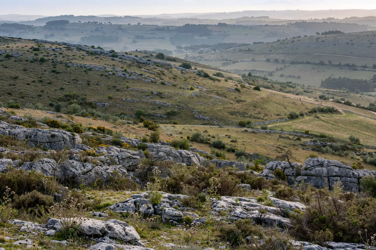
In Alqueidão da Serra, the parish identifies the Moinho de Vento, Miradouro Jurássico and Parque de Lazer da Lapa among places to visit. The village is part of the Parque Natural das Serras de Aire e Candeeiros.
For another regional history stop, the Castelo de Porto de Mós visit guide covers the nearby castle.
Batalha, Alcobaça, Leiria and Fátima are also regional points of interest.
Batalha has its own historic sights and itinerary; the one-day guide to Batalha gives an overview.
FAQs
How much of the Roman road can you see?
Descriptions give a surviving length of 100 to 370 metres, with the first 150 metres best preserved. Short remnants of the original route are also visible on nearby paths.
Is the road part of a longer hike?
Yes. The PR7 PMS circular hike is 13.8 km and difficult, with an estimated duration of 3 hours 55 minutes. It follows the Roman road for its first metres.
Can groups arrange a guided visit?
Porto de Mós municipality offers guided visits for groups of 10 or more. Contact the municipality for reservations and information.